2.5 Acres unrestricted land in Rockbridge County, Virginia
Payment Options
Description
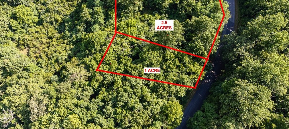
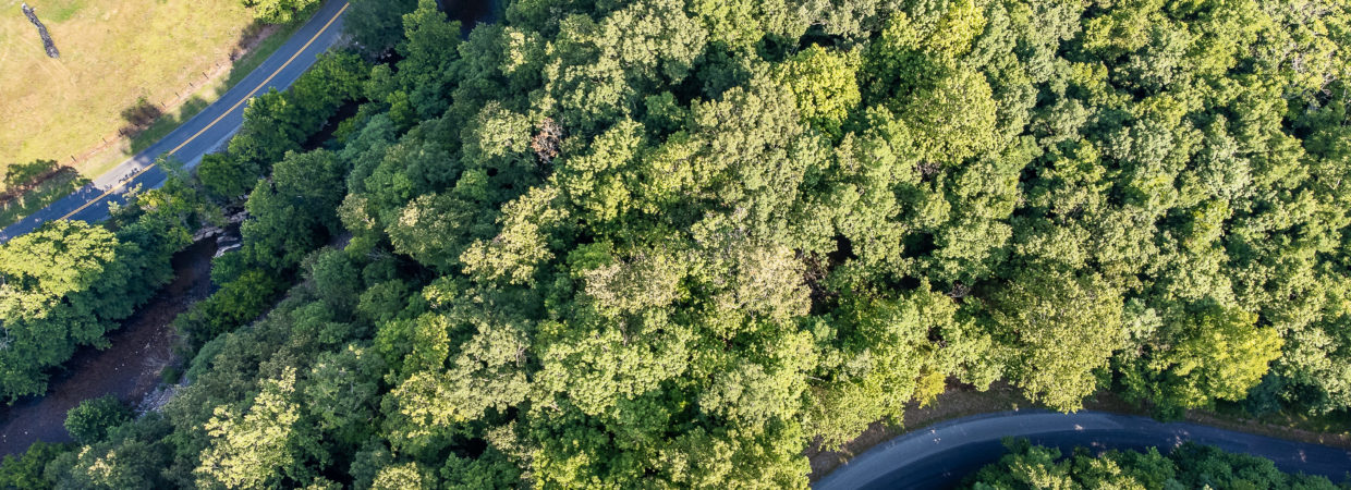
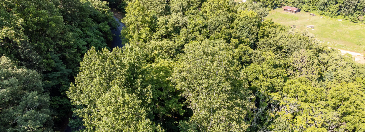
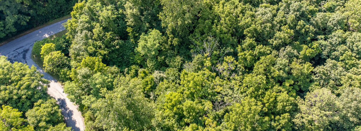
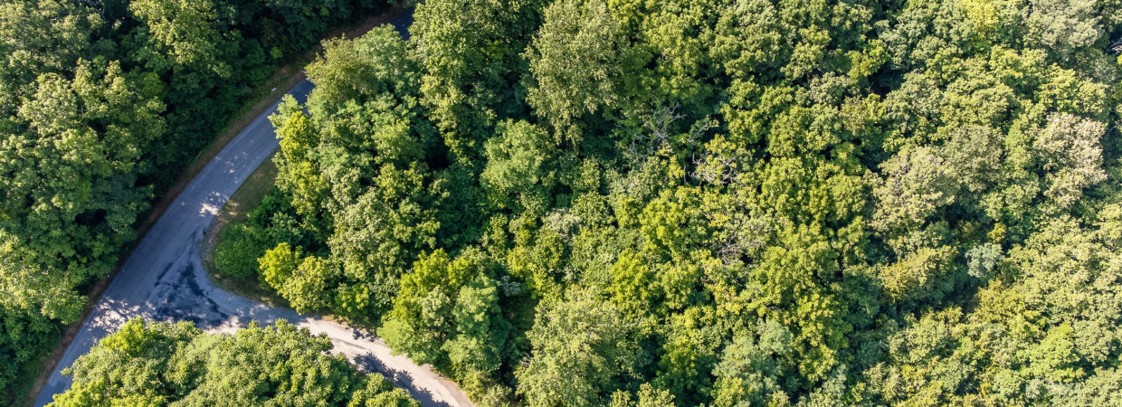
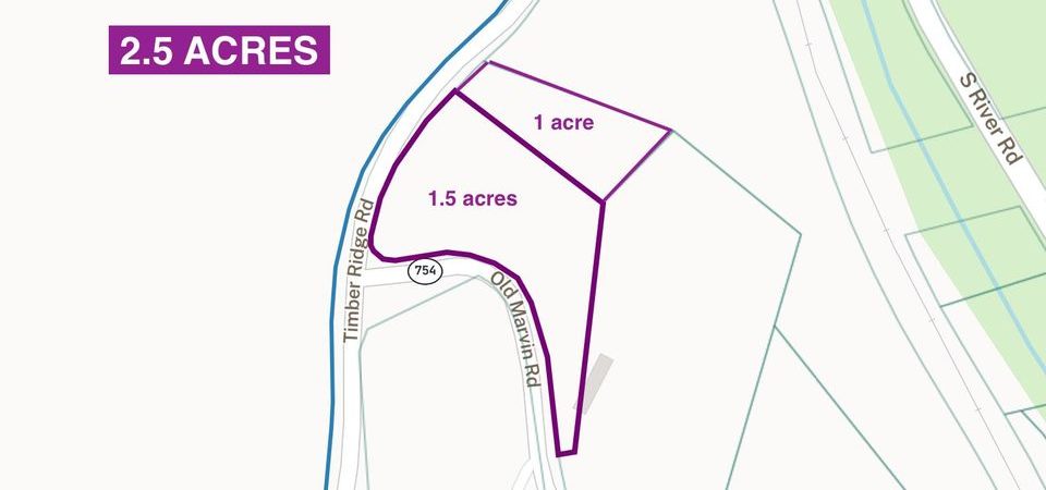
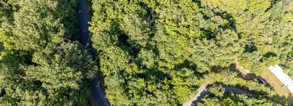
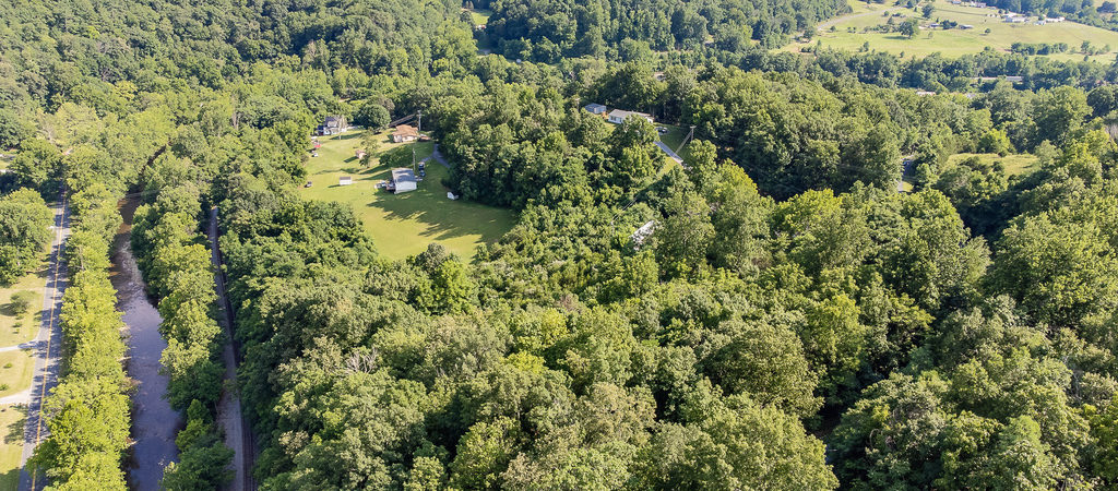
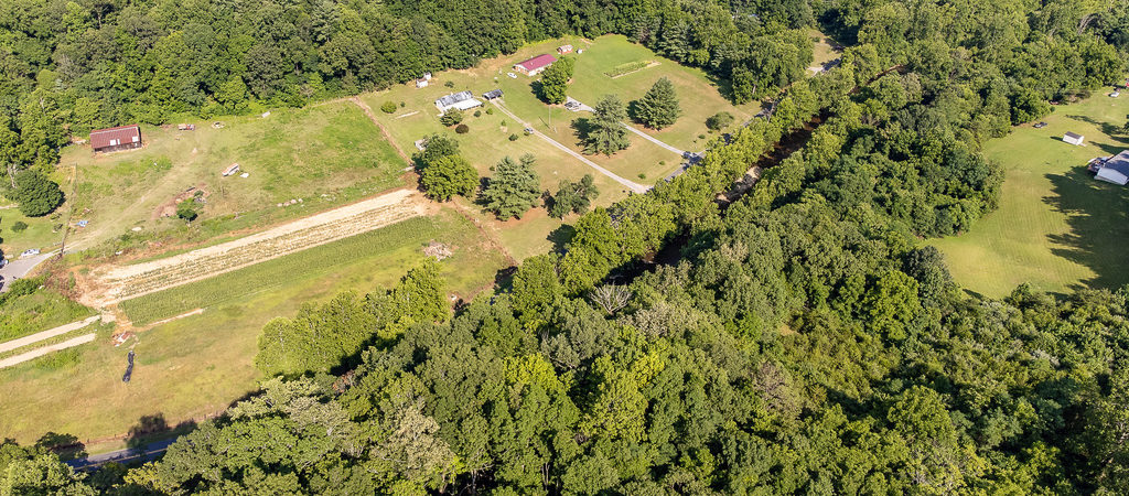
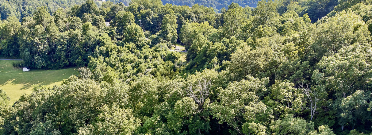
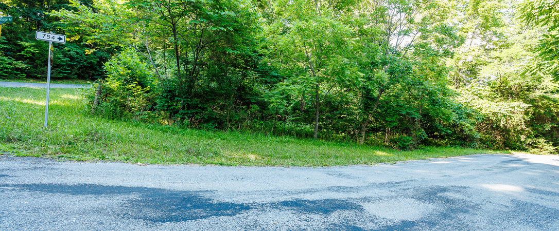
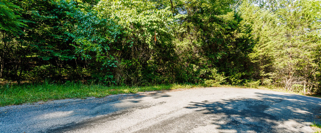
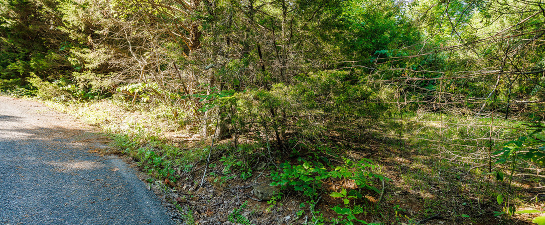
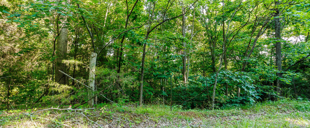
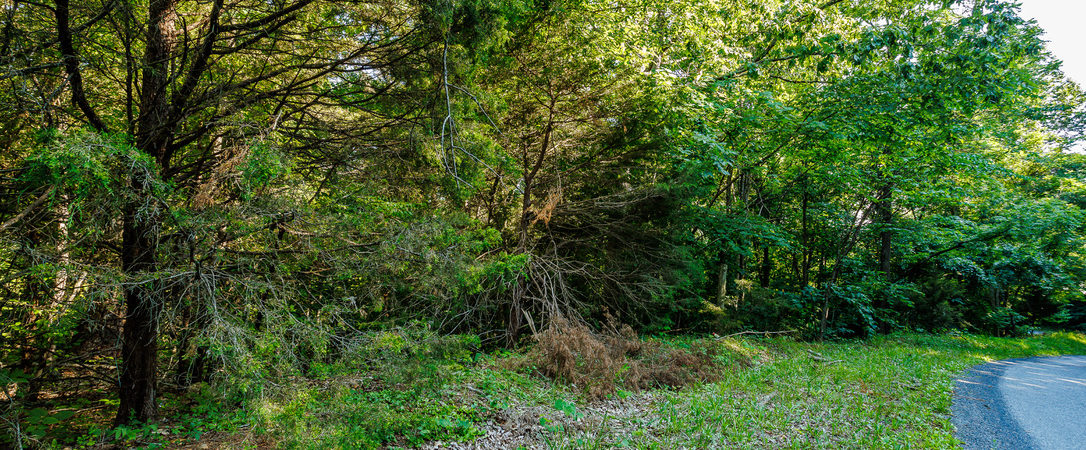
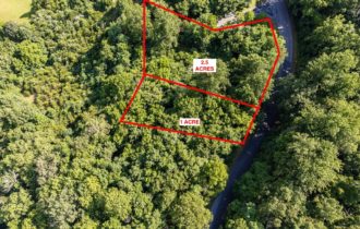
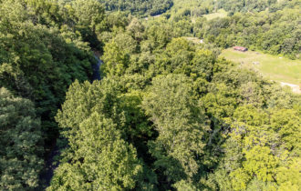
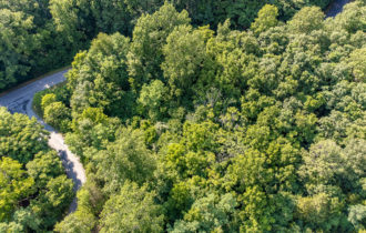
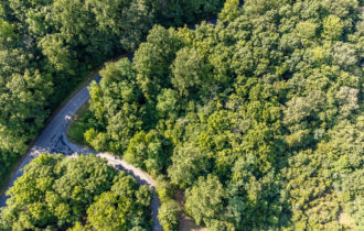
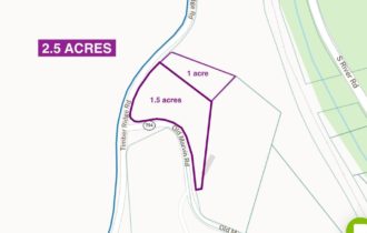
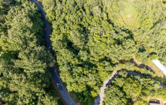
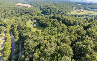
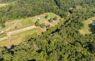
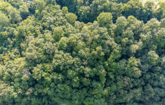
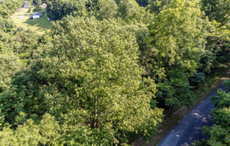
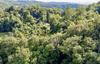
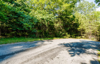
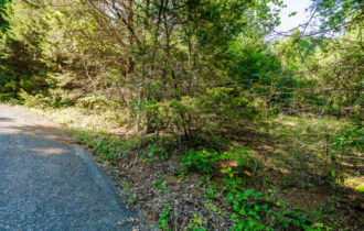
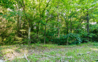
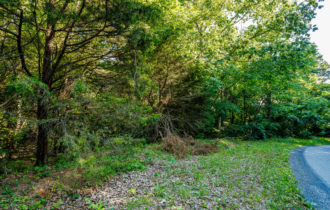
2 lots that equal 2.5 acres. This parcel is in Buena Vista, Virginia in Rockbridge County, the southern gateway to the Shenandoah Valley. Flanked by the Blue Ridge and Allegheny Mountains, Rockbridge County offers heart-pumping adventures, charming towns, farm-fresh cuisine, historic sites, and so much more.Live life on your terms! Mobile home friendly, modulars, cabin, or build your dream house and enjoy the mountain views… Zoned A2! Bring your animals, start a mini farm!
We offer seller-financing on this property. Message me for more info.
County Zoning info https://www.co.rockbridge.va.us/DocumentCenter/View/240/LDR?bidId=
Please verify your specific needs from the county before purchasing.
Planning & Zoning 540-464-9662
Property Information
Parcel Size
1.5 & 1 (2.5)
State
Virginia
County
Rockbridge
Nearest Cities
Lexington
Parcel Number
64-A-8B & 64-A-8C
Address
Timber Ridge Rd.
Legal Description
Cornwall 608 1.50 Ac Db 386 632
Lot # 2 Legal decriptiom
CORNWALL 608 1.00 AC DB 386 632
Zoning
A-2
Elevation
1269.7 ft
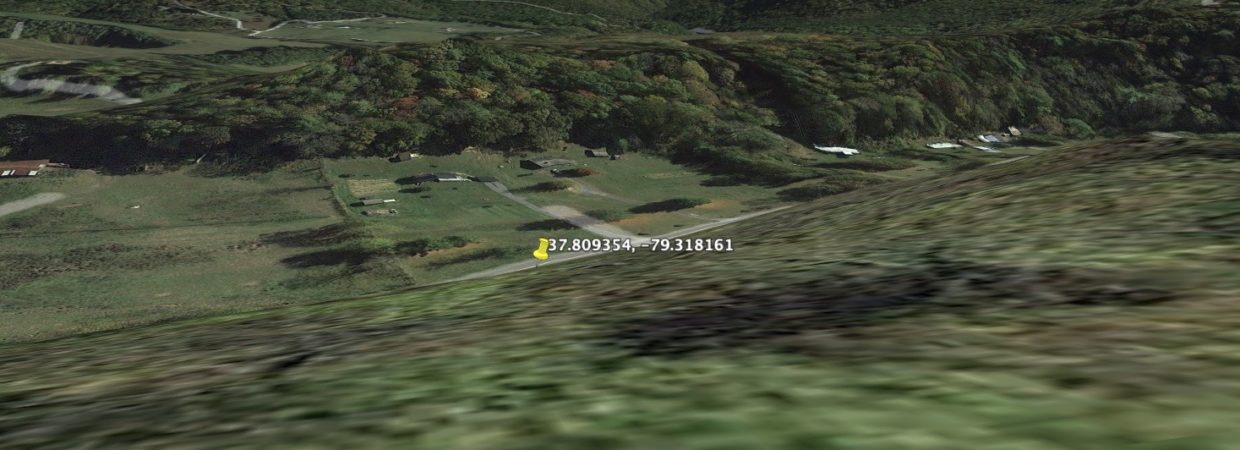
GPS Coordinates
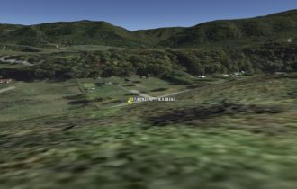
37.809000, -79.318400
Closest address
85 Coffey Hill Dr, Buena Vista, VA 24416, USA
Dimensions 1 acre
64-A-8C: 47.52 ft x 227.04 ft x 116.16 ft x 211.2 ft
Dimensions 1.5 acre
“64-A-8B: 126.72 ft x 158.4 ft x 36.96 ft x 68.64 ft x 47.52 ft x 147.84 ft x 15.84 ft x 285.12 ft x 211.2 ft
Features
Access
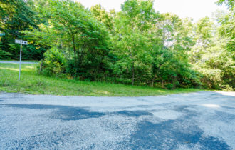
Paved
Power
available
Water
Needs well
Natural Bridge State Park
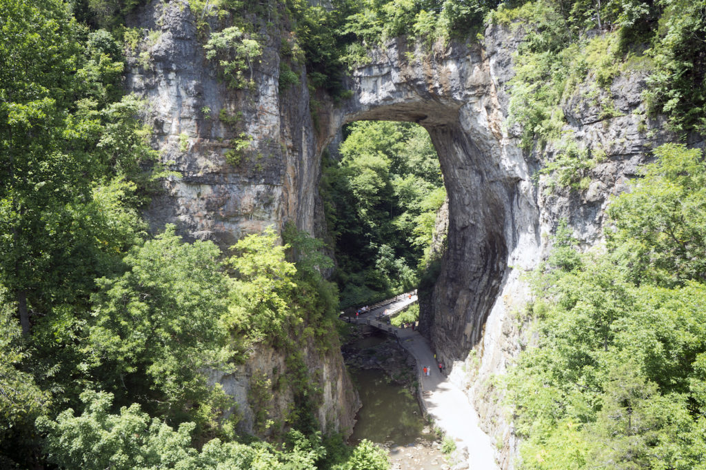
Thomas Jefferson described Natural Bridge as “the most sublime of nature’s work.”
Great Valley Farm, Brewery & Winery
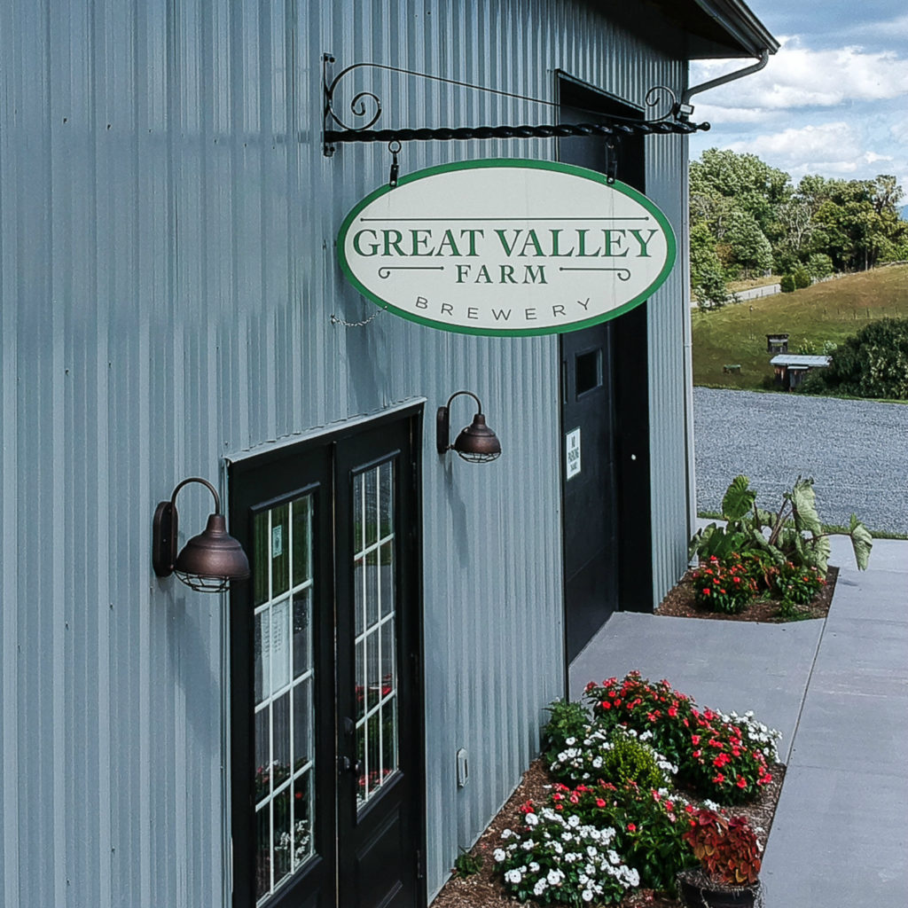
The vineyard now consists of 6 acres of grapes most of which are used in their own wine production. The grapes are also often used in the brewing process, particularly in specialty, barrel-aged beers. Nathan was a long-time homebrewer and avid craft beer lover. By 2015, the plans were solidified and construction was started on the brewery.
CHESSIE TRAIL
The Chessie Trail parallels the Maury River from East Lexington to Buena Vista for seven miles. A rail-trail, the Chessie’s path is comprised of a portion of the old Chesapeake & Ohio Railroad bed as well as canal towpaths. It is managed by Virginia Military Institute. The locals love to hike and run this trail because it’s easily accessible while also boasting abundant natural beauty, wildlife, and farmsteads.
Property Location
Google Maps link https://goo.gl/maps/VXgZsiwwKBKSCDhg9

